How to Get to Mount Ulriken Cable Car: Bus, Parking, and Directions
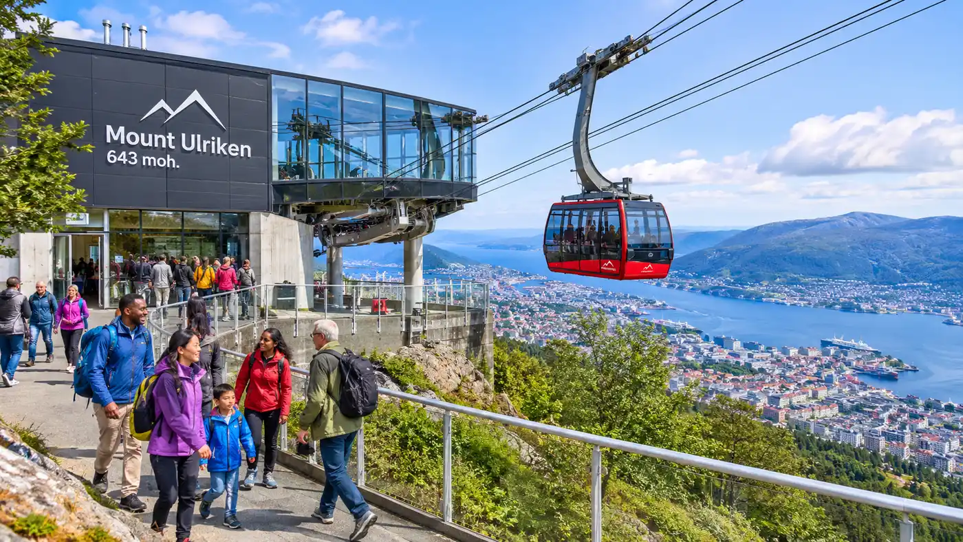
Most travelers visiting Bergen flock straight to Mount Fløyen because the funicular sits right behind the harbor fish market. Mount Ulriken is different. It stands 643 meters above sea level, making it the highest of the seven mountains surrounding the city, and getting to its lower cable car station takes a little bit of planning. Figuring out how to get to ulriken cable car without getting turned around in residential neighborhoods or hospital parking garages will save you time, sore calf muscles, and unnecessary bus fares.
The mountain sits roughly 3.5 kilometers southeast of Bergen city center. You have four clear ways to get there: local transit, a dedicated shuttle coach, your own car, or your own two feet. Each option has its quirks, especially since the base station hides behind Bergen's largest medical complex on a steep hillside.
Book your mount ulriken cable car experience:
How to Get to Ulriken Cable Car Skyss: Public Bus Routes
Local public transit runs under the Skyss network, and it is by far the cheapest way to reach the mountain. You have two solid bus options leaving from downtown Bergen, and choosing between them comes down to how much uphill walking you want to do before your ride even starts.
Line 12 is the sweet spot. You can catch this bus from platform L near Festplassen or along Olav Kyrres gate in the city center. It winds through south Bergen and drops you off at Montana, a residential stop located about 400 meters south of the base of cable car at mount ulriken. When you step off at Montana, you only have an eight-minute walk along a quiet street to the terminal entrance. This walk is relatively gentle compared to the alternatives.
Lines 5 and 6 leave every few minutes from the city center heading toward Haukeland Hospital. If you take either of these lines, ride until the Haukeland sjukehus Nord stop. Once you step off the bus, you face a brutally steep 10-minute climb up Haukelandsbakken to reach the ulriken cable car lower station. My calves were burning the first time I took this route because the grade feels like 15 percent in some spots. You pass residential villas, a small wooded path, and several hospital staff buildings before the red cable cars swing into view overhead.
Pro tip: Download the Skyss Billett app before you leave your hotel and buy a single zone A ticket for 47 NOK. You cannot pay cash on board Bergen buses, and purchasing tickets from machines downtown adds a surcharge.
A single transit ticket stays valid for 90 minutes. That gives you plenty of time to board in the city center, ride the 11 minutes to the stop, and walk up to the terminal. If you decide to take the Bybanen light rail Line 1, get off at Haukeland Sjukehus. The station platform is built inside an underground cavern with a deep elevator shaft that shoots you up to street level, right near the base of the hill.
The Direct Bergen Ulriken Cable Car Bus Shuttle
If navigating local transit feels like too much work on vacation, there is an official shuttle coach that runs during the tourist season. It operates from May through September, departing from right across the street from the Tourist Information center at the Fish Market.
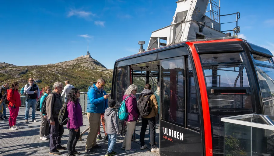
This big black coach carries large Ulriken branding across the sides, so you cannot miss it. It runs every 30 minutes during peak daytime hours and drives straight to the lower ulriken cable car station without making intermediate stops. The trip takes roughly 15 minutes depending on midday traffic leaving the harbor. It drops you off directly in the bus turn-around bay right at the entrance doors of the lower station, completely sparing you the uphill march from the public stops.
It costs considerably more than the municipal Skyss bus. A round-trip shuttle ticket costs around 100 NOK for adults, whereas your public bus journey costs half that. If you already purchased a Bergen Card, remember that Skyss local buses are free, but the private Ulriken express shuttle is not. Many travelers pair their shuttle transport with a combined gondola voucher, which you can read about in our guide to Mount Ulriken Cable Car Tickets and Price Guide.
Ulriken Cable Car Directions: Driving and Parking Options
Driving yourself is simple enough, though parking near the mountain base can test your patience. From downtown Bergen, you follow the E16 or route 585 southward out of the center toward Haukeland. You turn east up Haukelandsbakken, following the small brown road signs marked with a cable car icon.
The road narrows quickly as you climb past timber homes. Locals park their cars on the curbs, turning sections of the street into a single lane where someone has to back into an alcove to let oncoming delivery vans pass. Drive slowly here. Neighborhood kids walk this road to school, and hikers constantly cross the asphalt in rain gear.
Note: The parking lot directly at the lower station holds fewer than 45 cars and fills up before 10:30 AM on sunny weekends. Do not park on yellow lines along the curb, as Bergen municipal traffic wardens patrol Haukelandsbakken daily and ticket aggressively.
If you manage to snag a spot in the dedicated ulriken cable car parking area, payment runs through the EasyPark app. The parking code is displayed on small signs around the gravel and paved bays. Expect to pay around 38 NOK per hour. If that lot is full when you arrive, turn around and head down the hill to the large multi-story parking garage at Haukeland Hospital, known as Sentralblokken P-hus. It sits about 600 meters down the hill and has hundreds of visitor spaces, though you still have to walk up the steep slope afterward.
Book your mount ulriken cable car experience:
Ulriken Cable Car Address, Coordinates, and Map Details
When you plug the destination into your navigation app, it helps to use the precise street information. The official mount ulriken cable car address is Haukelandsbakken 40, 5009 Bergen. Some older rental car GPS units register the site as Ulriksbanen rather than Ulriken643.
- Street address: Haukelandsbakken 40, 5009 Bergen, Norway.
- Lower station coordinates: 60.3738° N, 5.3634° E.
- Upper station coordinates: 60.3777° N, 5.3813° E.
- Elevation at base: 44 meters above sea level.
- Elevation at summit: 643 meters above sea level.
If you study an ulriken cable car bergen map, you will spot several pedestrian shortcuts between the hospital complex and Haukelandsbakken. A quiet paved footpath cuts behind the dental clinic building, saving you about 150 meters of roadside walking along the vehicle curve. The ulriken cable car lower station coordinates place you right at the boarding platform, ticket office, and the Skyskraperen cafe pick-up window.
| Transit Mode | Travel Time from Center | Cost (One Way) | Walk Required |
|---|---|---|---|
| Skyss Bus 12 | 16 minutes | 47 NOK | 400 meters (gentle slope) |
| Skyss Bus 5 or 6 | 11 minutes | 47 NOK | 650 meters (steep uphill) |
| Bybanen Line 1 (Light Rail) | 9 minutes | 47 NOK | 750 meters (moderate incline) |
| Official Shuttle Bus | 15 minutes | Approx. 50 NOK | 0 meters (doorside drop) |
| Walking from Center | 45 to 55 minutes | Free | 3.5 kilometers uphill |
| Taxi or Ride App | 10 minutes | 220 to 310 NOK | 0 meters (doorside drop) |
How to Go to Ulriken Cable Car on Foot
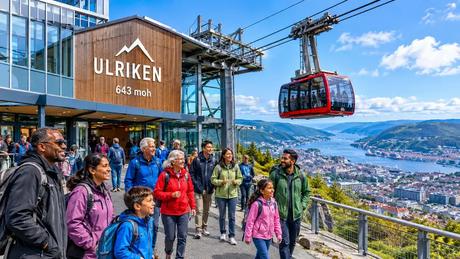
Walking from downtown Bergen all the way to the cable car base is completely doable if the weather behaves. It takes around 50 minutes at a normal pace. You leave the city via Kalfarveien, a historic street lined with 19th-century wooden villas and lush gardens that once belonged to Bergen's merchant class.
From Kalfarveien, the street turns into Årstadveien, taking you past the old cemetery and near the student dormitories. The gradient stays fairly flat until you reach the Haukeland area, where the road angles sharply upward toward the mountain base. Walking lets you see residential corners of Bergen that tour groups never encounter. You smell woodsmoke from chimneys in autumn and damp pine needles along the mossy stone walls.
Many active visitors combine their transit with the famous hike up the mountain. You can check the Mount Ulriken Cable Car Opening Hours and Schedule to time your descent if you decide to walk up the 1,333 Sherpa stone stairs and take the cable car back down to the base.
- Wear grippy shoes: Haukelandsbakken is asphalt, but wet leaves and Bergen mist make the steep sidewalks slippery.
- Check the wind forecast: High winds on the ridge will pause cable car operations even when transit buses run on time.
- Bring a tap card: The ticket machines at the station do not take cash notes or coins.
- Look for waymarkers: Small blue hiker signs mark the street corners between the hospital bus stop and the terminal.
If you finish your hike or gondola ride late in the evening, getting back to town is easy. Buses 5 and 6 run well past midnight from the main road below the hill. You simply walk downhill, cross under the pedestrian tunnel to the city-bound bus shelter, and tap your phone against the onboard reader.
Frequently Asked Questions about how to get to ulriken cable car
What bus goes directly to Mount Ulriken cable car?
The official Ulriken shuttle bus departs from the Fish Market downtown and drops you at the terminal doors. If using public transit, Skyss Bus 12 drops you at Montana, roughly an eight-minute walk from the station, while Buses 5 and 6 stop at Haukeland Hospital at the bottom of the hill.
Can you walk to Ulriken cable car from central Bergen?
Yes, the walk covers about 3.5 kilometers and takes roughly 45 to 55 minutes. You walk southeast through Kalfaret along Årstadveien before making the final steep climb up Haukelandsbakken to the lower station.
Where do I park if the Ulriken base parking lot is full?
If the small 45-space lot at Haukelandsbakken 40 is full, drive down to the Sentralblokken parking garage at Haukeland University Hospital. It provides covered paid parking a short walk down the hill.
Is the Ulriken cable car accessible via the Bergen light rail?
Yes, you can take Bybanen Line 1 to the Haukeland Sjukehus underground stop. Ride the deep glass elevators up to street level, then walk about 10 minutes uphill along Haukelandsbakken to reach the ticket office.
Quick Reference
- Address: Haukelandsbakken 40, 5009 Bergen
- Best public bus: Skyss line 12 to Montana
- Shuttle pick-up: Across from Fish Market (May to Sept)
- Base parking: Paid via EasyPark (spaces very limited)
- Coordinates: 60.3738 N, 5.3634 E
Book your mount ulriken cable car experience:
Before You Head Out
Reaching the highest peak in Bergen is painless once you know which bus stop matches your fitness level. Take Bus 12 if you prefer an easy stroll, hop on the express coach from the harbor if you hate hills, or walk the whole way if you want an authentic workout before stepping into the gondola cabin. Check the live summit webcam from your phone before buying your tickets, step onto your bus, and enjoy the dramatic ride above the fjord valleys.
Read more about mount ulriken cable car.